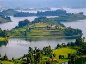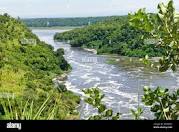
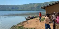
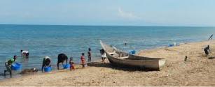
Lake Albert is located in the Western Rift Valley at an altitude of 615 meters above sea level. The lake is shared between Uganda (46%) and Democratic Republic of Congo (DRC) (54%). The lake was formed about 10-12 million years ago. It is about 60 km long and 30 km wide, with a surface area of 5,300 km2. It has a shoreline length of 508 km, an average depth of 25 m and maximum depth of 58 m, a water volume of 280 km3 and a basin area of 17,000 km2. The primary rivers flowing into the lake are the Semliki River from Lake Edward and the Victoria Nile from Lake Victoria through Lake Kyoga. The Albert Nile flows out of the lake. Most of the lake’s water is carried in by the rivers, which contribute about 45,160 m3/year, although rainfall adds around 5,198 m3/year. Water loss is mainly through river outflow (36,875 m3/year) followed by evaporation (13,093m3/year). Rainfall around the lake ranges between 600 mm in the rift floor and 2000 mm in the mountains. Temperature varies with elevation, and ranges from 15-17°C in high altitude areas (>2,000 m). Areas with altitude from 1,500–2,000 m have mean temperatures ranging from 18– 21°C, and in areas with lower altitude, temperature may exceed an average of 21°C.
Overview
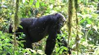
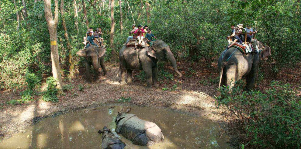
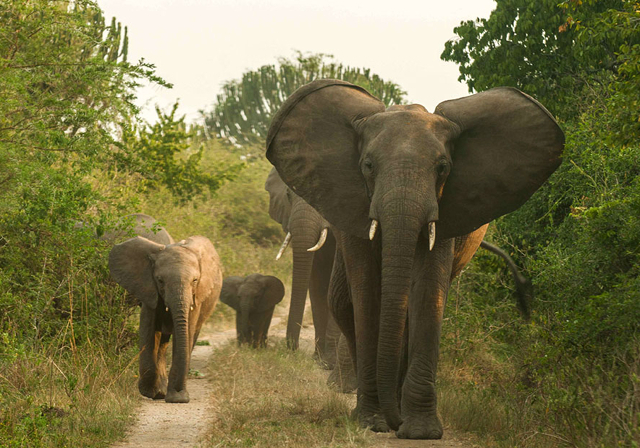
Lake Albert Uganda Safaris and Tours can be very exciting and adventurous. Boat cruises, Sport Fishing, Bird watching and sightseeing are some of the popular activities on Africa’s seventh- largest lake. The rift valley lake is surrounded by great escapements and well planned lake shore settlements.